Offa's Dyke Path 1st - 13th September 2021
Nobody knows when or why it was built but it passes through some of the most beautiful countryside in the UK. It is a fabulous walk, taking in farmland, moorland, deciduous and coniferous forests, rivers such as the Severn, Wye, Arrow and Teme, escarpments, ridges such as Hergest Ridge, deep valleys, canals and the famous Froncysyllte aqueduct over the River Dee.
Not an easy walk, tiring at times but almost always exhilarating. AND - we only got soaked on one day.
We walked 177 miles from Chepstow to Prestatyn, crossing the Wales-England border at regular intervals, through Monmouthshire, Gloucestershire, Herefordshire, Shropshire, Radnorshire, Montgomery, Clwyd and Denbigh, with very friendly people on each side. The signposting was almost always excellent, though we did wander off course once or twice in forested areas and where signage was unclear.
Day 1 took us from Sedbury on the banks of the River Severn, through Chepstow and alongside the River Wye to Tintern, where we stayed at the Wild Hare.
The ruins of Tintern Abbey.
First sight of the dyke.
A vast gnome collection in Chepstow. Nothing to do with King Offa as far as I know - unless he is hiding in there somewhere.
The Old Town Bridge in Chepstow. Built of cast iron and completed in 1816. It separates Monmouthshire from Gloucestershire over the River Wye.
Day 2 took us further up the Wye Valley and through Monmouth. 25 miles in two days, nice and easy!
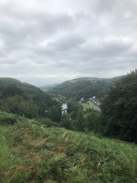
Looking down at Redbrook.
Day 3 saw us reach Pandy after an up and down 16 miles through gorgeous countryside.
White Castle.
Afternoon water stop.
Day 5 began with a steep climb onto the Black Mountain ridge and then a 17 mile trek along the ridge to Hay-on-Wye. From Hay we had a beautiful walk to Kington in Herefordshire.
Approaching Hergest Ridge.
The dyke.
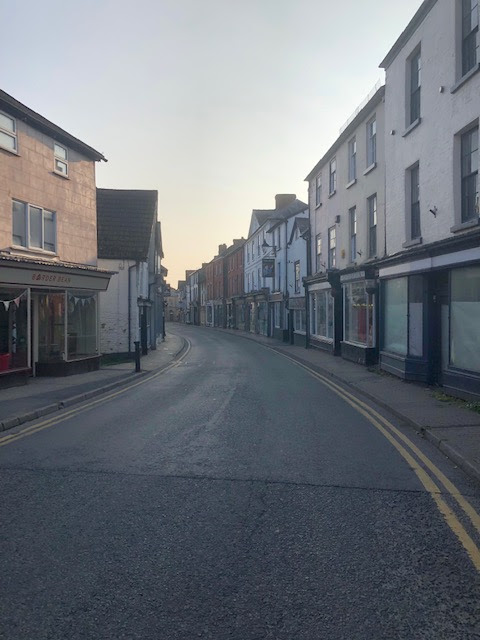
Kington. Yes, it was quiet! Mike Oldfield has moved to The Bahamas I believe.
Kington to Knighton was a tough day. Beyond Knighton we passed through the Shropshire hills, crossing many steep sided valleys. Great views at each summit but hard going in 30 degree heat.
Knighton, which straddles the Welsh-English border. Each half of the town's rugby pitch is in a different country. The locals said that lockdown was interesting. Welsh pubs were shut and English ones were open.
On the border, heading away from Knighton.
Burfa.
Hawthorn Hill.
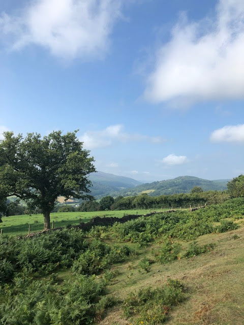
A sunny day in Radnorshire.
Halfway point.
One of the steep bits.
Petrol was cheap once upon a time.
The Royal Oak in Welshpool - a very comfortable stay.
The utterly beautiful Montgomery Canal, including an aqueduct over the River Vrnwy.
The aqueduct.
We got very wet on our walk to Trefonen. The rain had stopped by the time this photo was taken.
Storm ahead.
We got some respite in a Trefonen bus shelter before well deserved refreshment in the Barley Mow pub.

The bus shelter mural was designed by children of the village primary school.
Next day - still raining but not as heavily. This is the site of the former Oswestry Racecourse.
Heading along to Llangollen Canal towards the Froncysyllte aqueduct.
Chirk Castle.
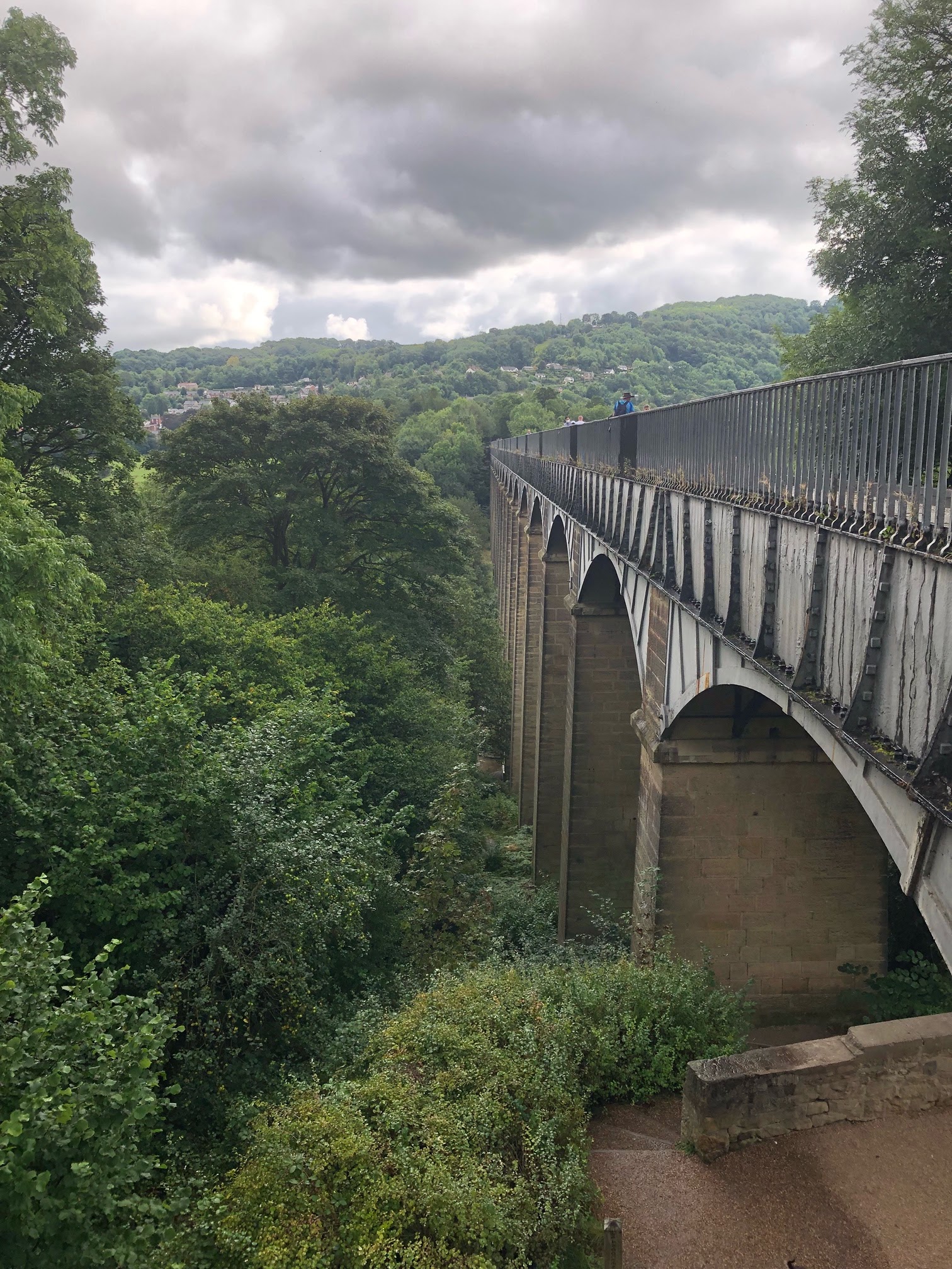
The Pontcysyllte Aqueduct carries
the Llangollen Canal across
the River Dee in the Vale
of Llangollen in northeast Wales.
The 18-arched stone and cast iron structure is for use by narrowboats and was completed in 1805 having taken ten
years to design and build. It is 3.7 metres wide and is the longest aqueduct
in Great Britain and the
highest canal aqueduct in the world.
Froncysyllte or Pontcysyllte? Are both acceptable spellings?
Kayakers also use the canal.
After passing below the aqueduct, we took a very dramatic contouring path along the edge of the Eglwyseg Hills, then climbed to a high moorland section of heather and bog. Three steep hills proved to be the sting in the afternoon tail before we reached Clwyd Gate for our minibus pick up. 16 miles today, with about 3400 feet of ascent and near enough the same amount of descent.
We were defrinitely on the edge along here.
Lovely underfoot.
A welcome rest at the Mulberry Inn, Llwynmawr.
Day 13. We spend most of the day in the beautiful Clwydian Hills but the rain and mist prevent us from being able to enjoy any views.
Jubilee Tower (Moel Famu) one of the highest points on the entire walk.
A pint in Bodfari at the end of a wet day.
We began the final walking day in light rain but fortunately it did not last long and we were able to enjoy some fine views.
When your legs are tired a stile is not always welcome.
Especially a tricky stone stile.
Nearly there, walking through Prestatyn town.
The finishing post.
Done.
I did not go for a paddle. Had a cup of tea instead.